360cities.net, a brief history
360 Cities is currently the web's largest and oldest community and licensing platform for 360º photography. It has global licensing agreements with a number of the world's largest photography licensing companies, including Getty Images, Alamy, and others. It has been integrated with Google Earth, as part of the Photos layer, for over ten years. The company is currently being run six awesome people, and they are continuing to make it the best that it can be. It has outlasted nearly every other comparable community and licensing platform of its kind, and continues to grow.
360 Cities started as a project called Prague360.com in 2005. It grew into a larger project in 2007 with global domination as a goal, naturally. Securing angel investment allowed us to grow the company into what it is today.
To see what it used to be, scroll down....
Older stuff
Paleontology of the Web
Prague360.com screencast
2007
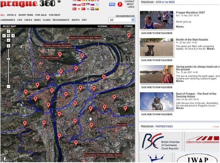
Here is a screencast that I luckily made in 2007 (I didn't realize how thoroughly impermanent everything on the Web is) showing the second iteration of prague360.com, which eventually morphed into 360cities.net.
How to shoot a 360º Photo
2010
This is called the "philopod" technique for shooting a 360 photo, using a string and weight as a reference point in order to minimize parallax. It's possible to use this technique with great precision.

Vaclav Havel
2009
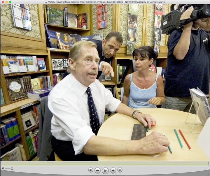
I shot a 360 photo of Vaclav Havel once.

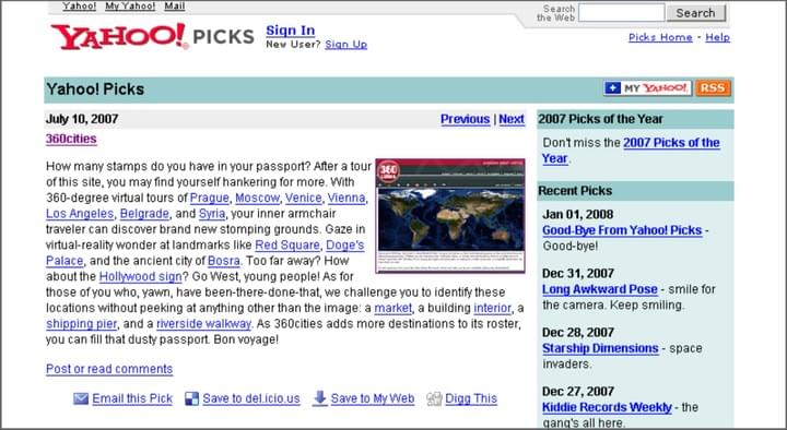
Featured on Yahoo! Picks
I'm really not that old, I promise
Believe it or not, at one point in time, being featured on this "Yahoo! Picks" page was a really big deal. Yes, I had color television when I was growing up.

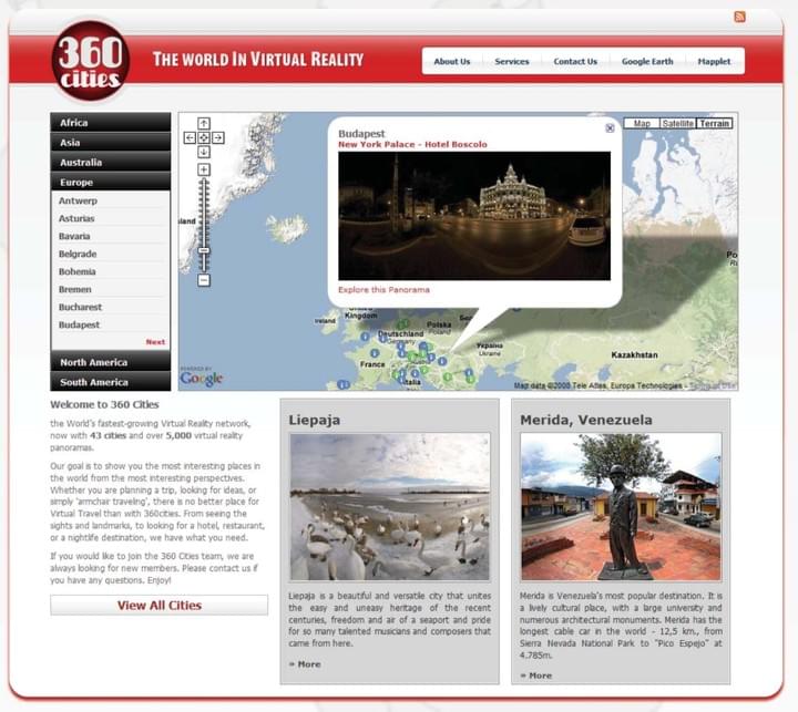
360 Cities Home Page
2008
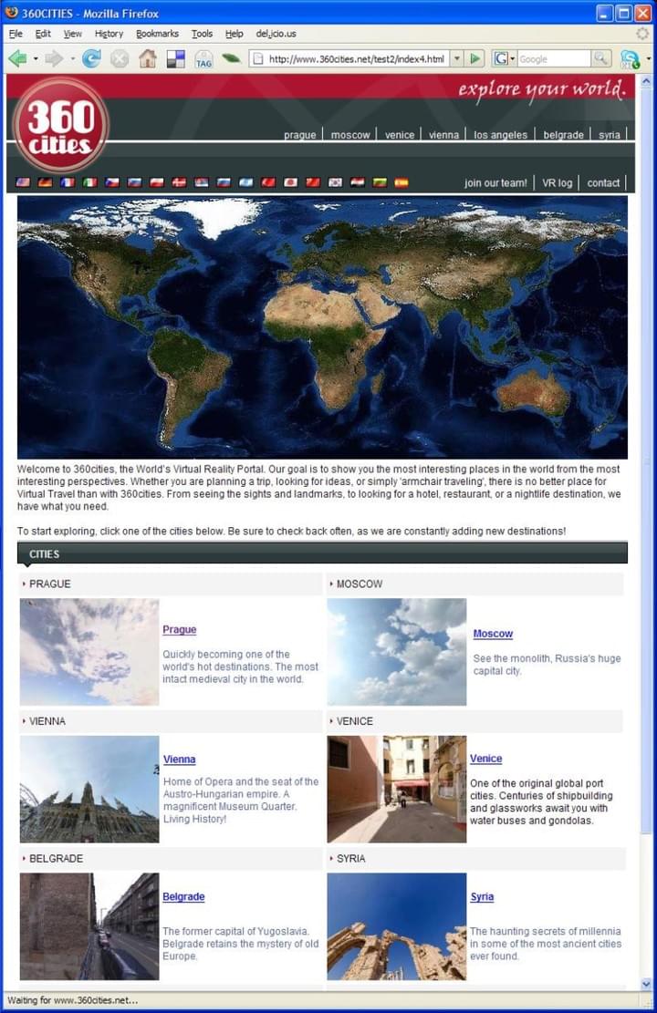
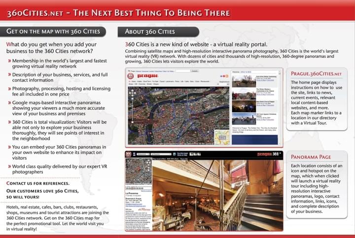
This was the homepage of 360 Cities back in 2007. We eventually gave up on the term "Virtual Reality Photography" because no one really knew what it meant.

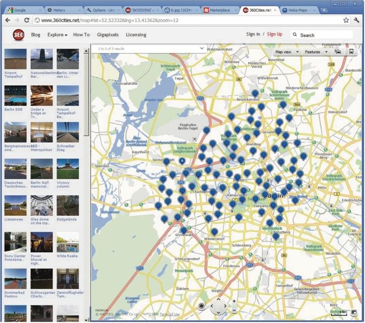
360 Cities World Map Page
2012 maybe
The page with the world map and tens of thousands of geo-referenced 360 photos on it has always been a very challenging page to make, from both a UX/UI/Design and a software engineering perspective. There is no single best way to show image previews, clusters of markers, or the full size images themselves on one lightweight, simple, easy-to-use page. This map page has gone through many iterations over the years.

First 360 Cities Home page
2007
The original idea of 360 Cities was that each city of the world would have its own site. That site would contain a map with 360º photos of everything in the city.

Prague360.com, Version 2
2006
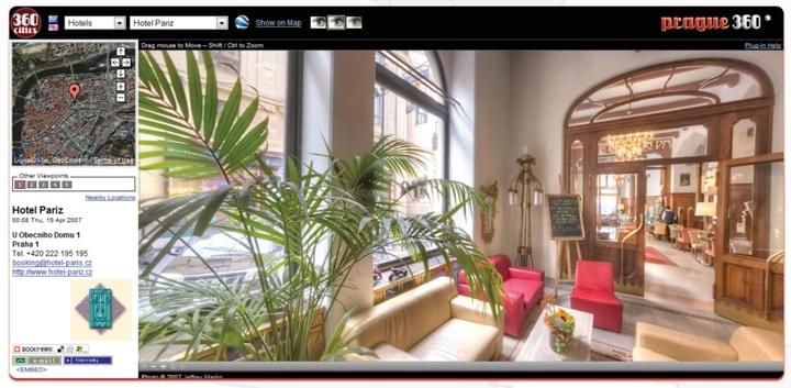
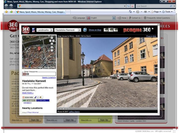
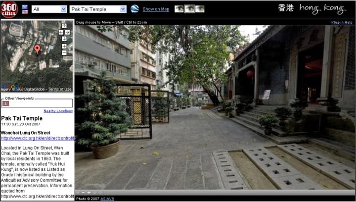
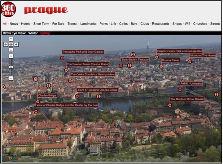
The original prague360.com, designed by the great Adam Trachtman, looked very slick, but it was an uneditable Flash Blob. We therefore rewrote it from scratch, once the Google Maps API came into existence in June 2006. A bit of scope creep meant that the originally slick design morphed into a bit of a frankenstein mish mash. Around this time, other panoramic photographers liked this system, and asked if they could do the same in their own cities. Starting with Moscow, Los Angeles, Vienna, Venice, London, Belgrade, and Syria (yes, I know Syria is not a city, but Willy Kaemena had a fantastic collection of panoramas from the whole country!), 360 Cities was born.

The Fullscreen page
A sentence or two describing this item.

Title Text
A sentence or two describing this item.

Title Text
A sentence or two describing this item.

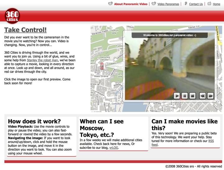
360 Video (2008)
This was in my "just build a crappy prototype, and the product will almost sell itself" phase.

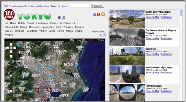
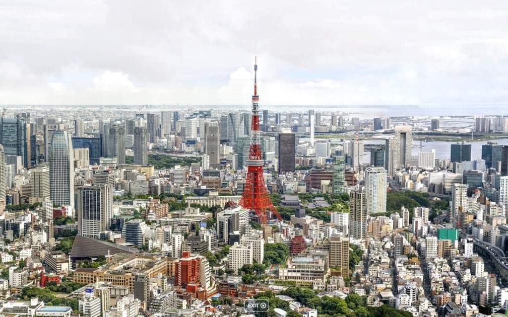
360 Cities, Tokyo
A sentence or two describing this item.

Title Text
A sentence or two describing this item.

Title Text
A sentence or two describing this item.

Prague Gigapixel (2008)
Back in 2008, there did not exist any kind of multiresolution panorama viewer for the web. However, it was possible to abuse the Google Maps API, and use your own tile pyramid - so we used this to show a gigapixel image.

360 Cities Mapplet
2007
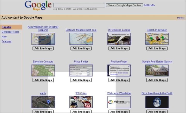
What the hell is a Mapplet, you ask? You know, it's one of those things that Google deprecated, and not only did no one mourn it, but no one even remembered that they ever existed, after only a few months of them being gone.
Some things in life are totally important, until they're not, and then everyone just forgets about it. It's good to keep this in mind.

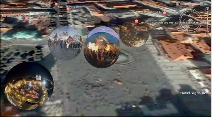
360 Cities in Google Earth
2008
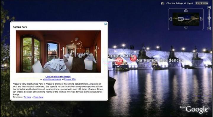
As of 2018, 360 Cities is still integrated with the Google Earth client (I mean, the Google Earth software that you download and install on a PC or Mac). It was a great achievement, and a huge validation of our company, back in 2008 when this happened. It was a great source of traffic and prestige, as well as a useful sales tool, to say that anyone in the world could find our images in Google Earth.

Haruki Murakami
2006
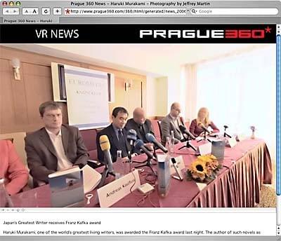
For a while I was shooting "VR News" - essentially a 360 photo of whatever interesting event I could find, and publicizing it as much as possible. The idea of "VR" in the year 2006 was a relatively obscure thing. To this day, I do love the idea of using 360º and immersive imaging for journalism; a medium striving for objectivity should be embracing these kinds of technologies as much as possible.

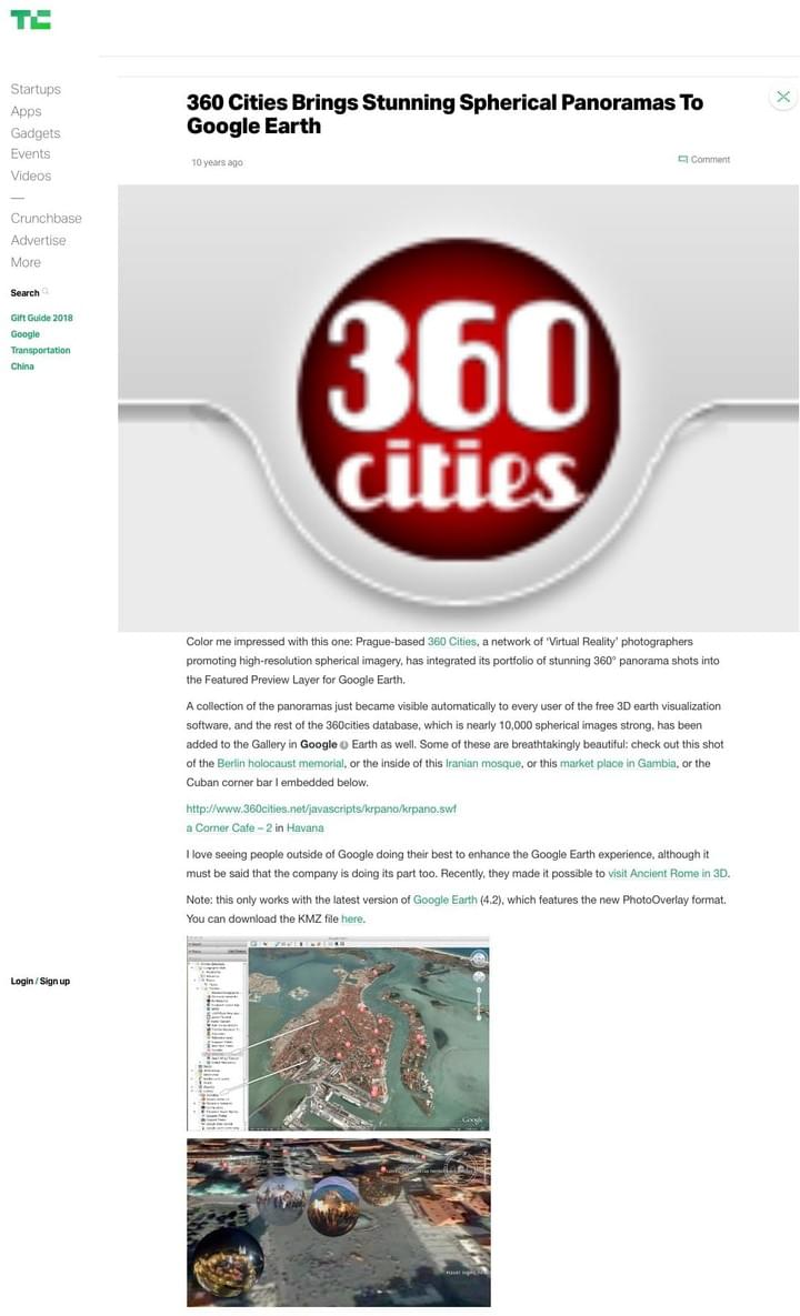
360 Cities is in Google Earth!
2008
Getting integrated with Google Earth was a big deal. Tech Crunch covering us in 2008 was a huge deal! All of a sudden, people knew who we were! Click here to see the original article.


